FRENDE ← Rides Book a bike
HomeRide ideas › Grand tour of the Écrins — Galibier & Izoard
← All ride ideas
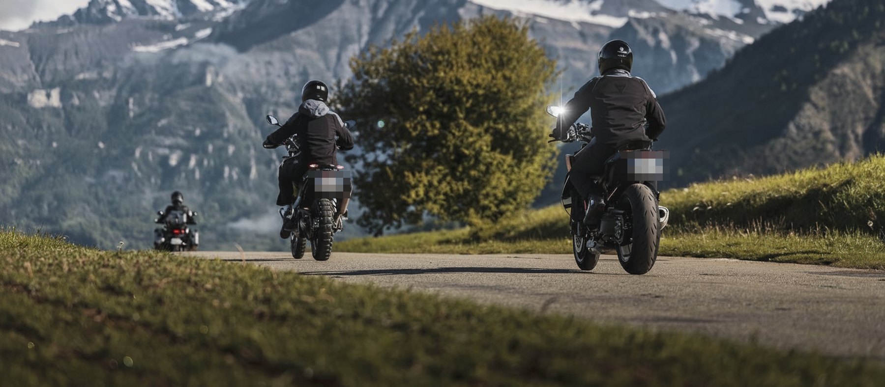
Grand tour of the Écrins — Galibier & Izoard — photo

Grand tour of the Écrins — Galibier & Izoard

396 km 3 days ~8 h 53 min on the road From Grenoble

The great three-day Écrins raid, as a loop: Lautaret, Galibier, Briançon, Col d'Izoard and the Queyras, then back down the Durance valley (Embrun, Gap) and over the Col de la Croix Haute. The finest cols of the Southern Alps, linked without a wasted mile.

Route map

Base map © IGN · Géoplateforme. Indicative route — check that the passes are open before you set off.

The route, step by step

Day 1Grenoble to Briançon via the Lautaret and the Galibier134 kmapprox. 3 h 00
  • Agence envie2rouler — Grenoble (Sassenage)start
  • Bourg-d’Oisans+51 km
  • Col du Lautaret+39 km
  • Col du Galibier+8 km
  • Briançon (overnight)+36 km

What to see on the way

  • Lake Chambon and the Infernet gorges, on the way up the Romanche.
  • The Col du Lautaret (2,058 m) and its alpine botanical garden, facing La Meije.
  • Briançon: the Vauban town, its ramparts and high-altitude forts, UNESCO World Heritage since 2008.
Day 2Briançon to Gap via the Izoard, the Queyras and the Durance123 kmapprox. 2 h 45
  • Col d’Izoard+20 km
  • Château-Ville-Vieille — Queyras+21 km
  • Guillestre+23 km
  • Embrun+19 km
  • Gap+40 km

What to see on the way

  • The Refuge Napoléon at the Col d'Izoard, 2,290 m: built in 1858 thanks to a bequest from Napoleon I, the highest of the six refuges of that name.
  • Château-Ville-Vieille and the Queyras regional nature park, with Saint-Véran a twenty-minute detour away, the highest inhabited commune in Europe at 2,042 m.
  • Mont-Dauphin, above Guillestre: a stronghold built by Vauban from 1693, also UNESCO listed.
  • Embrun and its rock, on a balcony above the Durance.
Day 3Gap to Grenoble via the Croix Haute and the Trièves139 kmapprox. 3 h 08
  • Col de la Croix Haute+57 km
  • Agence envie2rouler — Grenoble (Sassenage)+81 km

What to see on the way

  • Gap: the highest prefecture town in France at 735 m, with its pedestrian old town.
  • The Col de la Croix Haute (1,176 m): the gateway to the Trièves, a quiet border between Provence and the northern Alps.
  • The Trièves and Mont Aiguille, the landmark summit whose 1492 ascent is regarded as the birth of mountaineering.

Photo stops not to miss

Fourteen stops scouted along the 396 km, all on the route or a few hundred metres off it.

Day 1 · Grenoble to Briançon
1
Lake ChambonThe turquoise reservoir squeezed between the rock walls, on the way up the Romanche. Several lay-bys let you stop above the water.
2
The Col du Lautaret, 2,058 mThe alpine botanical garden, one of the richest in Europe, and above all the south face of La Meije right opposite. Big car park, easy stop.
3
The Galibier hairpins from the LautaretEight kilometres of open bends above the void. The best framing is halfway up, looking back towards the Lautaret.
4
The Col du Galibier, 2,642 mThe altitude sign, the Henri Desgrange monument just below, and a sea of peaks all round. Go up early, the car park fills fast in summer.
5
Briançon, the Vauban townThe ramparts and high forts, UNESCO listed. From the Porte de Pignerol, the Grande Gargouille tumbles between the coloured facades.
Day 2 · Briançon to Gap
6
The Casse DéserteThe scree cirque and its stone chimneys, two kilometres below the Izoard on the Queyras side. The most spectacular scene of the trip, best done early.
7
The Col d'Izoard, 2,361 mOrientation table and views down both sides. The 1858 Refuge Napoléon is two kilometres below on the Briançon side.
8
The Queyras and the GuilThe descent follows the Guil gorges, deep and dark, before the valley opens out. Shoot from one of the bridges.
9
Mont-DauphinVauban's stronghold on its plateau, less than a kilometre off the road, at the confluence of the Durance and the Guil. From the ramparts the view reaches the Écrins.
10
Embrun and the DuranceThe rock of Embrun and the valley widening towards Serre-Ponçon, with the first southern light.
Day 3 · Gap to Grenoble
11
Lake Serre-PonçonTurquoise water glimpsed from the road above the reservoir, before heading back north.
12
The Col de la Croix Haute, 1,176 mThe pass sign, and above all the change of landscape from one side to the other: dry and bright to the south, green and alpine to the north.
13
Mont Aiguille from the TrièvesThe isolated silhouette whose 1492 ascent is regarded as the birth of mountaineering. Frame it wide from a rest area, late in the day.
14
The Trièves plateauFields, barns and the Vercors wall behind. The last breath before Grenoble.

What you will see along the way

Lautaret and Galibier to open

Day one climbs the Romanche to the Col du Lautaret (2,058 m), at the foot of La Meije, then up the Galibier and its 2,642 metres. It is the highest point of the trip and one of the most photographed roads in the Alps, entirely mineral above 2,300 m.

Briançon, the highest town in France

The evening stop sits at 1,326 m, in the only high-altitude fortified town built by Vauban. The upper town, ringed by ramparts and crowned with forts, has been a UNESCO World Heritage Site since 2008 as part of the network of major Vauban sites. The steep lanes of the Grande Gargouille are best walked at the end of the day.

The Izoard and the Casse Déserte

Early next morning, the Col d'Izoard (2,361 m) and above all the Casse Déserte, a cirque of scree and stone chimneys that gives the descent into the Queyras a lunar feel. Two kilometres below the summit, the Refuge Napoléon, built in 1858 thanks to a bequest from Napoleon I, is the highest of the six refuges of that name.

The Queyras, Mont-Dauphin and the Durance

The road then crosses the Queyras regional nature park, one of the best preserved valleys in the Alps, and passes below Mont-Dauphin, a stronghold built by Vauban from 1693 at the confluence of the Durance and the Guil, also UNESCO listed. The return follows the Durance down through Embrun and Gap before climbing back to Grenoble over the Col de la Croix Haute (1,176 m) and through the Trièves.

Good to know before you go

Frequently asked questions

When is the best time for this grand Écrins tour?

From mid-June to mid-October. The Col du Galibier usually opens in early June and the Col d'Izoard in late May or early June; both normally close around mid-October depending on snow.

Are three days enough?

Yes: 396 km and around 9 h of riding spread comfortably over three days, with time to visit Briançon and stop at the Casse Déserte. You can also spread the route over four days by extending the hire.

Why is Briançon UNESCO listed?

For the whole set of fortifications built from the 18th to the 20th century around Vauban's bastioned enclosure, raised between 1692 and 1723. Briançon is one of the twelve major Vauban sites inscribed as World Heritage in 2008, like Mont-Dauphin, also on this route.

Is this trip suitable for a less experienced rider?

It asks for stamina more than technique. The roads are wide and well surfaced, but linking two passes above 2,300 m in the same day is tiring. If this is your first big Alpine ride, start with the great passes of the Oisans over two days.

Ready to ride?

Our Triumph and BMW bikes (A2 and A licence) are prepped, insured and serviced. Book online, self-service pick-up 24/7 in Grenoble.

Check availability →

Fancy another route?

← Back to all rides